Tours offered by our incoming agency
Tailor-made itineraries designed by Dahomey Discovery — vehicle, driver, local guide and accommodation included.
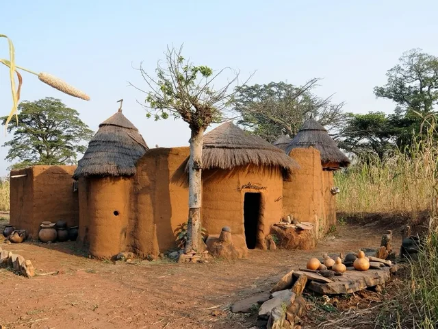
Benin stretches 700 kilometres from north to south, and its landscape changes three times. The lagoons and coastal strip in the south, the hills and kingdoms in the centre, and the savannah and the Atacora Mountains in the north. Choose where to start.
A closer look at the coastline
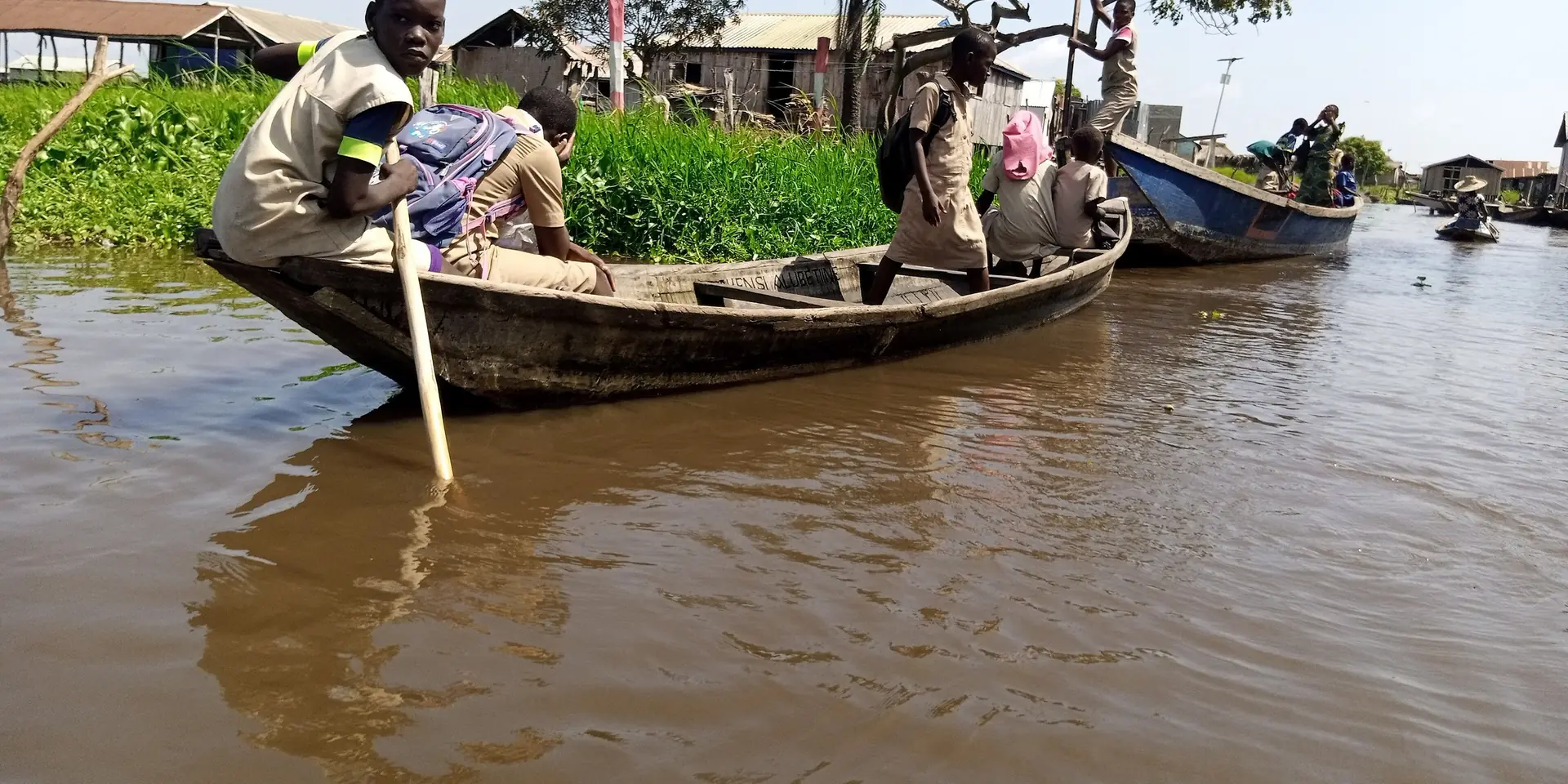
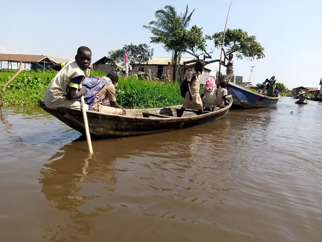
Southern Benin is a land of water. People get about by canoe as much as by car; villages spring up along the riverbanks; and the memory of the slave trade lingers on every beach. Here are five places to visit to gain an understanding of the coastline.
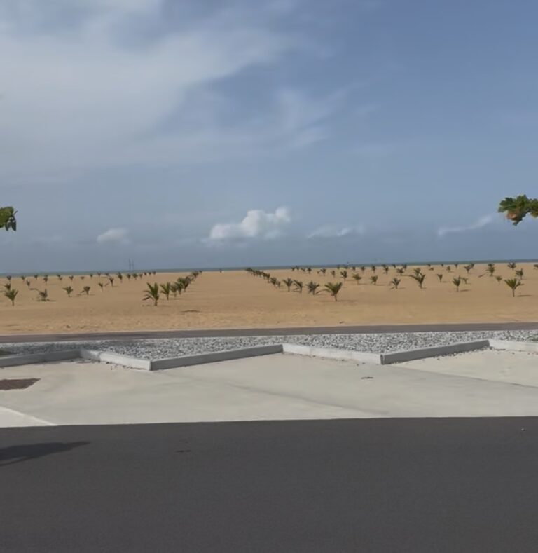
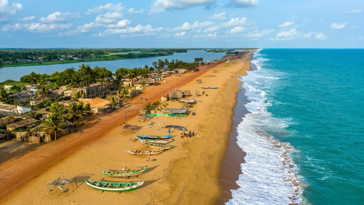
The Coast of Mysteries — a fine sandy beach lined with coconut palms, with the Mono Lagoon behind it, and traces of 19th-century Afro-Brazilian culture.
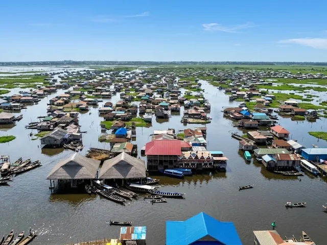
The Venice of Africa — an entire village built on stilts in the middle of Lake Nokoué; you can get there by pirogue from the Calavi jetty.
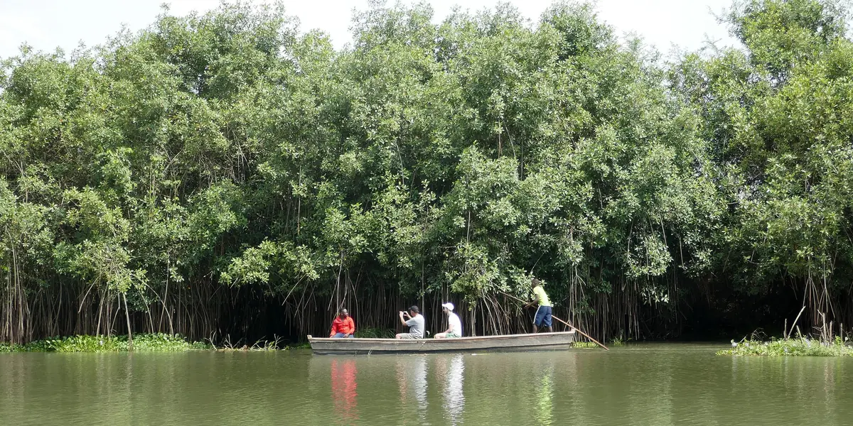
The mouth of the Mono River and its sandbanks, the mangrove forest, and the sea turtles that come to lay their eggs in season.
The country’s largest lake, its ‘akadja’ made of branches, its Tofinou fishermen, and Cotonou right next door.
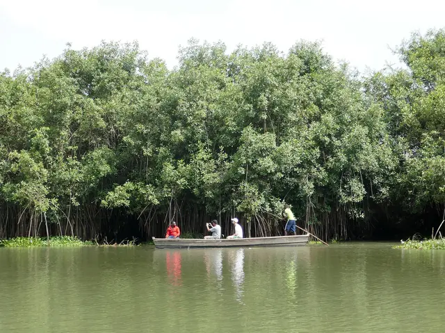
A bulwark against the ocean and a nursery for the Gulf of Guinea — a dawn trip by pirogue, amongst the roots that plunge into the salt water.
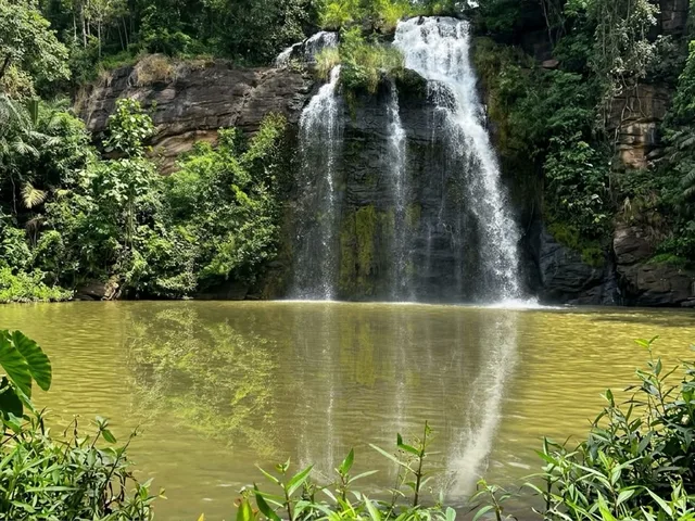
Two UNESCO national parks, the Atacora mountain range, the Tanougou Falls, and the Mono mangrove forest. Benin’s natural landscape: less well-known but rich in biodiversity.
Explore this section →
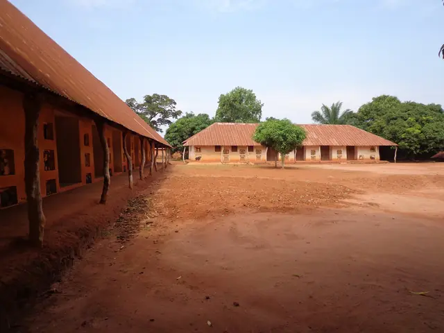
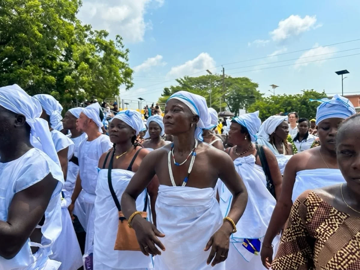
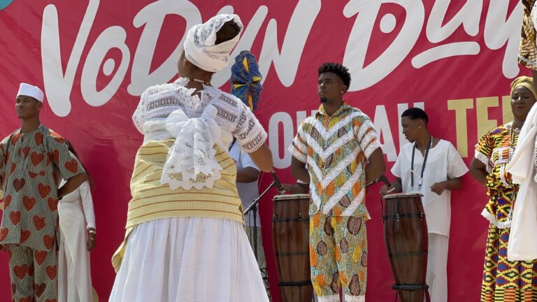
The birthplace of vodun, the kingdoms of Danxomè, the gèlèdè and zangbéto masks. None of these are museums — they are living traditions.
Explore this section →Tailor-made itineraries designed by Dahomey Discovery — vehicle, driver, local guide and accommodation included.
Editor’s choice
Twenty-nine places in a single view — beaches, royal palaces, lakeside towns, waterfalls, vodun towns. Filter by whatever appeals to you.
View the full selection